Five Practice Flags Produced 15 Points in 1:36
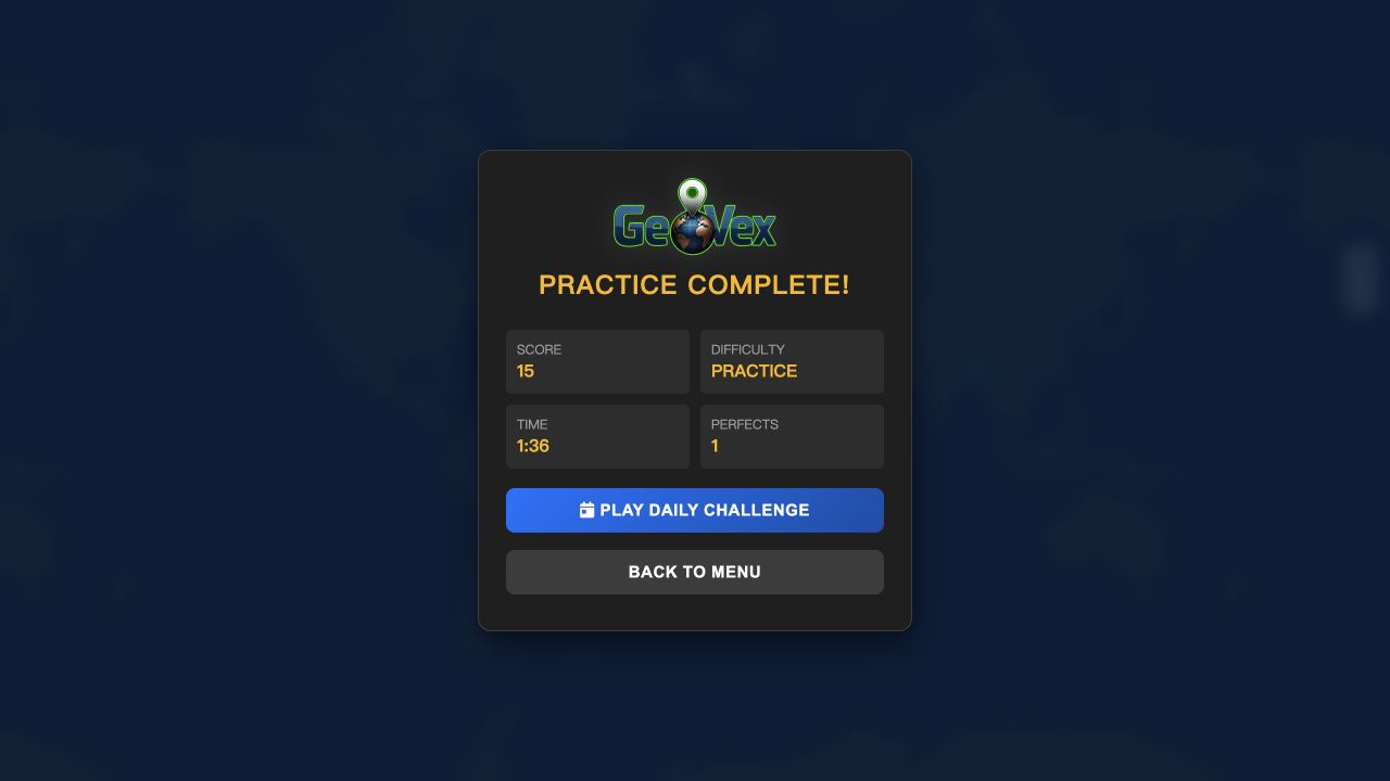
My desktop practice run covered El Salvador, Morocco, Dominican Republic, Cuba, and Botswana. The final panel recorded a score of 15, a time of 1:36, and one perfect placement. There is no elimination after a weak guess; the game totals the quality of all five pins, so a bad round becomes a score problem rather than a run-ending mistake.
A comparable phone run used a different random set and finished with 3 points in 33 seconds and no perfects. That contrast demonstrates why GeoVex works as a repeatable geography drill. The rules remain stable while the country sequence changes, letting players compare accuracy and speed without memorizing one fixed level.

Practice Mode Gives Each Flag Its Own Round
Selecting Practice Mode starts a five-round sequence. Round 1 displayed El Salvador's flag and written name above a Find Country button, with round and score counters already visible. Showing the name makes this a location challenge rather than a pure flag-identification quiz. The knowledge test begins when the prompt closes and the full world map becomes clickable.
Practice is the right first choice because it establishes scoring without spending the daily challenge. The main menu also offers statistics, feedback, light or dark map themes, and an audio toggle. I left the default presentation active for the measured run, so the result reflects ordinary play rather than an accessibility or difficulty modification.

A Pin Is Not Final Until Submit
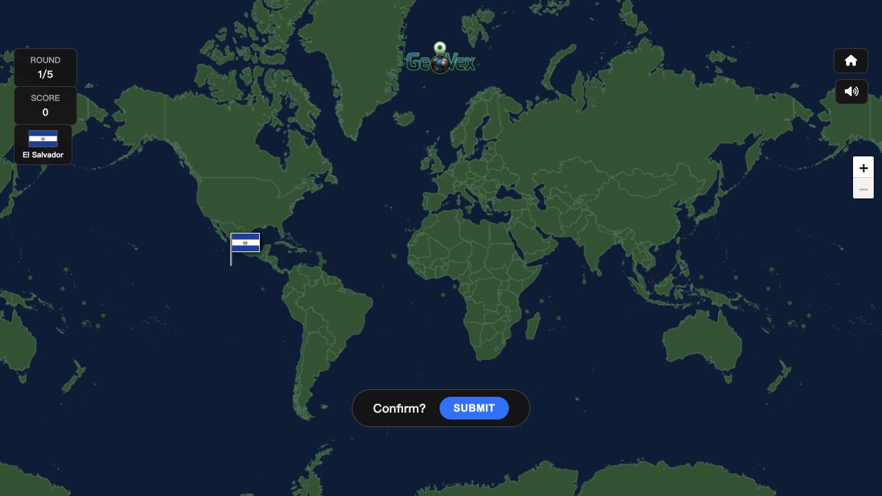
After pressing Find Country, clicking the map drops a small flag and opens a Confirm? strip with Submit. This two-step design is excellent on touchscreens because a slightly misplaced tap is not immediately scored. The map also supplies zoom controls, so small countries and crowded regions can be approached with more precision before committing.
My El Salvador pin landed too far into the Pacific. Submitting zoomed toward Central America, outlined the correct country, and connected my flag to it with a dotted line. That visual correction is educational: instead of only reporting a number, GeoVex shows direction and relative scale, making the next regional guess better informed.
Morocco Earned the Run's Only Perfect
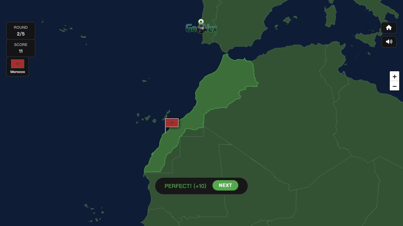
Round 2 asked for Morocco. I placed the flag in northwest Africa and received PERFECT! (+10), taking the running score from 1 to 11. The reward jump makes exact regional knowledge matter: a direct hit was worth far more than the one point earned by my broad Central America estimate in the previous round.
The best technique is to use continental shape before country borders. Locate Africa, identify its northwest shoulder, then refine the pin against the Atlantic and Mediterranean edges. On a phone, zoom once before placing a small coastal nation. The portrait layout leaves less horizontal map area, but the separate confirmation means precision does not have to be sacrificed for speed.
Distance Feedback Makes Wrong Answers Useful
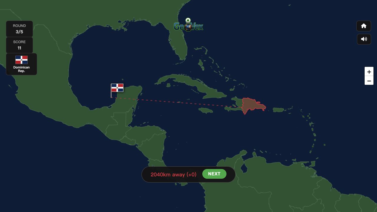
My Dominican Republic guess missed by 2,040 kilometers and added zero points. Cuba later produced one point from 1,755 kilometers away, while Botswana earned three points at a 598-kilometer distance. Those results show a graded model: accuracy is not simply perfect or wrong, and a reasonably close regional guess can still contribute to the final total.
GeoVex is strongest as a short daily learning habit. Five flags are enough to generate memorable corrections without becoming a long exam, and the result card records time as well as score. Players chasing improvement should slow down for islands, use coastlines as anchors, and review the dotted correction line before pressing Next. The next round is not just a new question; it is a chance to apply the map lesson immediately.